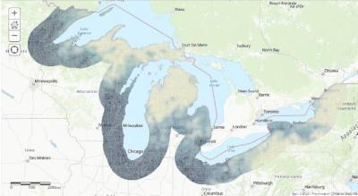
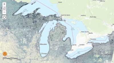
Every spring and fall, millions of birds and bats migrate through the Great Lakes region as they travel between their wintering and breeding grounds. With funding provided by the GLRI, the U.S. Fish and Wildlife Service studied bird and bat activity using avian radar and acoustic monitors respectively. This activity is now mapped as bird and bat concentration areas in the Great Lakes basin. These maps are intended to help inform conservation and are found in the Great Lakes Airspace Map Decision Support Tool.
Stakeholders interested in conservation of Great Lakes migratory bird and bat stopover habitat are invited to a webinar scheduled for November 4th from 10:00-11:00 CDT during which the Service will describe the Great Lakes Airspace Map Decision Support Tool. The tool is an outgrowth of a GLRI-funded project that characterized migration of birds and bats around and over the Great Lakes. The tool provides information on the relative use of airspace along Great Lakes shorelines to help identify priority habitat for protection and restoration and to better integrate migratory bird and bat conservation efforts into on-the-ground conservation projects.
During the webinar, Drs. Mike Wells and Jennifer White will describe the Service's avian radar project, which included deployment of two avian radar units and acoustic receivers along the shorelines of each of the Great Lakes during spring and fall migrations from 2011 through 2018. They will also describe development and key features of the DST and provide suggestions as to how to apply the DST to help guide efforts to conserve migratory stopover habitat.
• Join the November 4 Microsoft Team Webinar.
• Get more information about the Great Lakes Avian Radar project.


