Sorry, you need to enable JavaScript to visit this website.
Skip to main content

An official website of the United States government

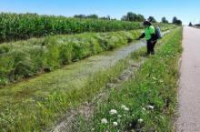
GLRI funds support researchers working quickly to find solutions to an invasive species sweeping the Great Lakes - the red swamp crayfish. Researchers, in partnership with the U.S. Fish and Wildlife Service, are hopeful as they try various combinations of management and eradication techniques.
To support the ongoing battle to reduce the destructiveness of invasive carp and the threats they pose to the Great Lakes, the Invasive Carp Regional Coordinating Committee announced the release of its annual Invasive Carp Action Plan for 2024.
The United States Geological Survey announces the availability of a new online, interactive water-quality dashboard for 24 major U.S. tributaries to the Great Lakes.
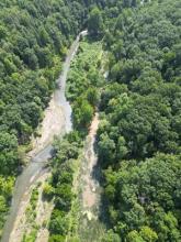
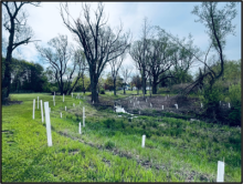
Toledo Public School students contribute to a stream restoration project in the Maumee AOC funded by the GLRI with support from H2Ohio.
The EPA Great Lakes National Program Office selects four applicants to run Great Lakes Environmental Justice Grant Programs to provide funding to underserved and overburdened communities throughout the Great Lakes basin.
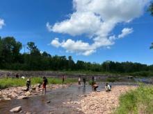
GLRI funds have enabled nearly 800 participants to participate in DRYFT, a U.S. Fish and Wildlife Service program based in Detroit, Michigan. By teaching youth to fish, this nature-focused experiential project will create opportunities to learn about local environments while developing lifelong outdoor skills.

Instilled with commitment to land stewardship, the next generation of Kane Dairy farmers sets out to take their parent’s vision for helping the family land to new levels with financial and technical assistance from Natural Resource Conservation Service programs.

Instilled with commitment to land stewardship, the next generation of Kane Dairy farmers sets out to take their parent’s vision for helping the family land to new levels with financial and technical assistance from Natural Resource Conservation Service programs.

On March 7, 2024, the U.S. Environmental Protection Agency’s (EPA) Great Lakes National Program Office issued a request for applications (RFA) to conduct sample collection and analyses in support of the Integrated Atmospheric Deposition Network (IADN). 

On March 7, 2024, the U.S. Environmental Protection Agency’s (EPA) Great Lakes National Program Office issued a request for applications (RFA) to conduct sample collection and analyses in support of the Integrated Atmospheric Deposition Network (IADN). 

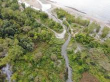
The National Oceanic and Atmospheric Administration announced the availability of new, high-resolution land cover data—used to document key geographic and landscape features covering Earth’s surface—for coastal communities across the country, including the Great Lakes. This new data can be used to inform wetland restoration projects and enable other activities to build climate resilience.

The National Oceanic and Atmospheric Administration announced the availability of new, high-resolution land cover data—used to document key geographic and landscape features covering Earth’s surface—for coastal communities across the country, including the Great Lakes. This new data can be used to inform wetland restoration projects and enable other activities to build climate resilience.